EXCLUSIVE Training From Centerline Mapping
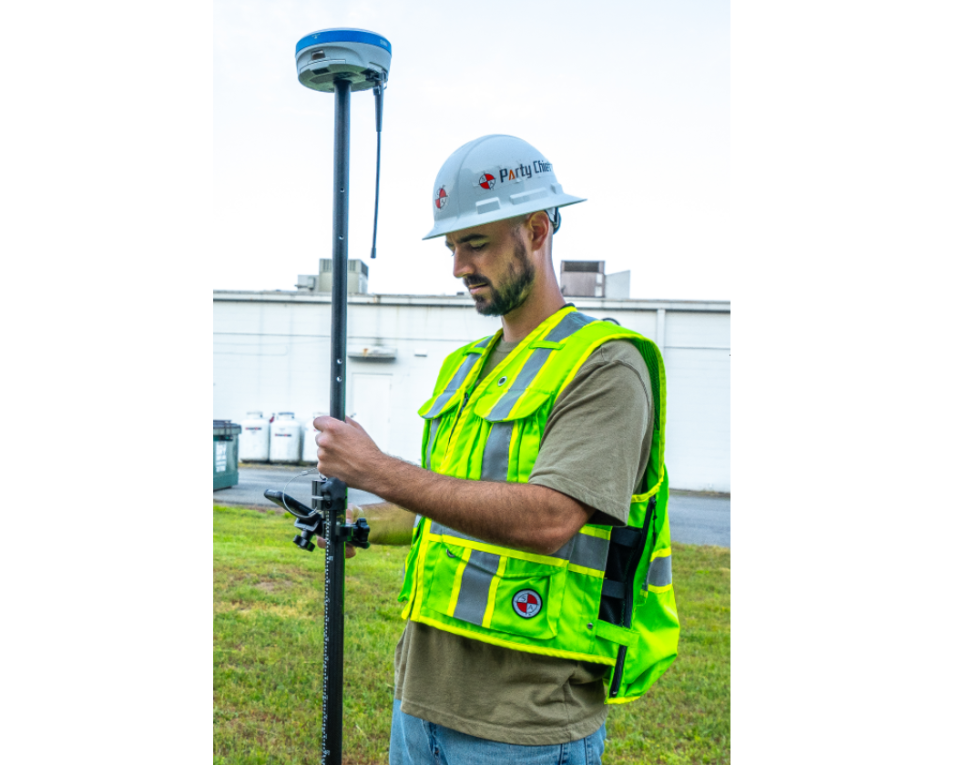
Step-by-step training to help your team become as productive as possible, using network RTK or Base and Rover GNSS receivers,
advanced field software, plus free desktop GIS and CAD software - to produce your very own professional deliverables!
Learn How To Use RTK GNSS Receivers and Field Software to Survey and Map
Learn How To Use RTK GNSS Receivers and Field Software to Survey and Map
Step-by-step training to help your team become as productive as possible, using network RTK or Base and Rover GNSS receivers,
advanced field software, plus free desktop GIS and CAD software - to produce your very own professional deliverables!
Exclusive Training Material
(For people who love adding value and building wealth)
(For people who love adding value and building wealth)
Exclusive Training Material
(For people who love adding value and building wealth)
(For people who love adding value and building wealth)
- Surveying and Mapping Technology Overview
- RTK GNSS Receivers for FIXED Positioning
- Base and Rovers for BEST Results
- Tilt Compensation up to 60 Degrees
- Fixed positions in TREE CANOPY
- Mapping using FREE GIS Software
- Manual and Robotic Total Stations
- Static & Rapid Static Surveying
- Delivering Field-to-Finish Solutions
×
Sign Up For FREE Access!
